Planscape Expands Nationwide to Support Wildfire Resilience
Groundbreaking Public-Private Partnership aims to make wildfire resilience tools more accessible
PLEASANTON, CA – December 4th , 2024 – The Planscape Partnership, a consortium of public and private wildfire organizations, announced today that its free online tools and services will be made available to land managers nationwide. Planscape, its flagship decision-support tool, which has already shaped more than 300 wildfire resilience plans and projects in California, will now be available to equip communities and wildfire resilience organizations across the U.S. with cutting-edge tools to prepare for, mitigate, and recover from the escalating threat of wildfires.
Launched in 2022 through a partnership between Google.org (Google’s philanthropic arm) and the California Natural Resources Agency, the Planscape Partnership has since expanded to include the USDA Forest Service, the University of California, Spatial Informatics Group, and Governor Newsom’s Wildfire and Forest Resilience Task Force. Planscape now serves as the primary platform for the Partnership to provide California’s local and regional land managers and wildfire organizations with cutting-edge data and tracking tools from its scientific partners.
Building on the initial support of Google.org Fellows, who provided 17 months of full-time, pro bono expertise, Planscape now combines extensive research, design, and technical development to help local and regional organizations better plan, prioritize, and evaluate the benefits of wildfire and landscape resilience projects. Following its launch, Google.org also provided a $2.4 million grant to further improve Planscape’s software, design, and user engagement capabilities.
“We’re thrilled to see this collaboration between Planscape and Google.org evolve into a national tool. Incorporating AI and the latest scientific technologies is essential for wildfire resilience,” said Kate Brandt, Chief Sustainability Officer at Google.
Dr. David Saah, Principal of Spatial Informatics Group, emphasized the value of collaboration. “We are honored to steward the Planscape project, and work with such a strong group of partners. With funding and a mandate to go nationwide, Planscape brings standardized, open-science planning to users across the country, offering a comprehensive suite of top-tier scientific resources for the problem space under one roof.”
The expansion, set for early 2025, comes amid an extremely active wildfire season in California, where over 7,500 fires have already burned more than one million acres, threatening both communities and vital forest ecosystems.
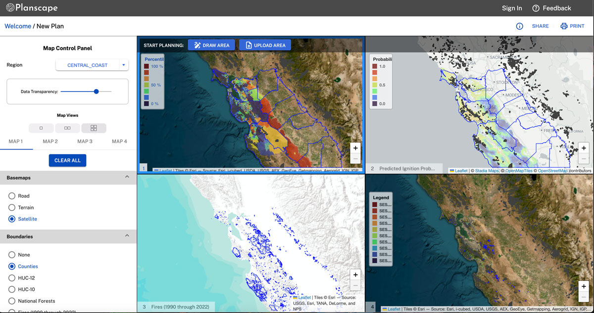
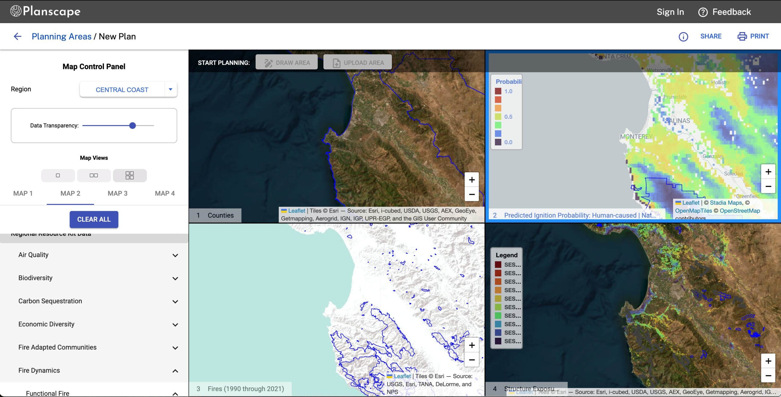
Planscape enables people and communities who are interested in reducing wildfire risks to compare the potential impact of various treatment scenarios on future fire risks. Planscape evaluates these scenarios across ten pillars of resilience, including air quality, water security, fire-adapted communities, and economic diversity, to provide a holistic view of their impact on future fire risks, ecosystems, and community preparedness.
“Planscape is an integral part of our growing efforts to build a wildfire and landscape resilience data hub, and to give communities and land managers the tools they need to increase the pace and scale of their work,” said Patrick Wright, Director of the Governor’s Task Force. “It will continue to expand and evolve to better align the work of our federal, state, local, private, and tribal partners.
The nationwide expansion of Planscape will include integrating hundreds of additional data sets, including those from the USFS Climate Risk Viewer and the USFS Raster Data Warehouse, as well as specific data tailored to ecosystems, geographies, tribal lands, and private territories. Users will also have the flexibility to incorporate their own datasets.
Planscape is also evolving into a modular platform to address diverse user objectives, delivering science-backed solutions for the complex challenges of wildfire resilience.
“We’re excited that Planscape is making our science, data, and modeling products more accessible and easier to use for landscape planning and wildfire mitigation,” said Dr. Mark Finney, Research Forester with the USDA Forest Service Rocky Mountain Research Station.
Since its inception, Planscape has become an indispensable tool for hundreds of users in California, including National Forests (e.g., Stanislaus, Eldorado), Regional Conservation Districts (e.g,, Sonoma RCD), State Agencies (e.g., Caltrans), philanthropic groups (e.g., The Nature Conservancy), tribal groups, federal agencies (e.g., USFS), water authorities, power utilities, and environmental consultancies.
About Planscape
Planscape is an open-science collaboration of the California Natural Resources Agency, the USDA Forest Service, The California Wildfire & Forest Resilience Task Force, University of California, The USDA California Climate Hub, Google.org and Spatial Informatics Group. For more information, please visit www.planscape.org.


